How Sailors Found Their Position Before GPS Sextants, Chronometers, and Celestial Navigation

THE MARINER’S LOGBOOK · HISTORY OF NAVIGATION Finding Your Way Across an Ocean Without Satellites Discover how generations of sailors used the Sun, stars, precise clocks, and mathematical calculations to determine their position at sea. SEXTANT ✦ MARINE CHRONOMETER ✦ CELESTIAL CHARTS Imagine sailing across the Atlantic Ocean centuries before satellite navigation. The horizon stretches … Read more
Nautical Cartography: The Evolution of Portolan Charts, the Mercator Projection, and Bathymetric Soundings

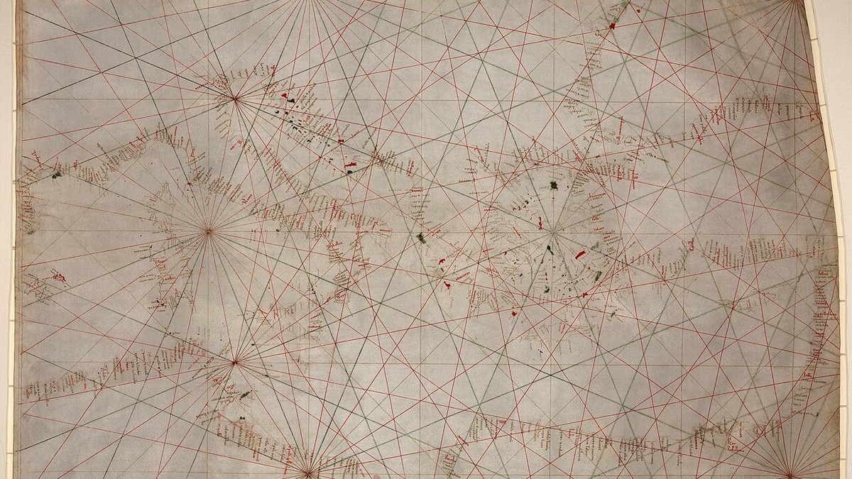
Hand-drawn medieval Portolan chart showing rhumb lines and Mediterranean coastal ports

⚓ Monograph Overview: The Science of Mapping the Oceans From thirteenth-century vellum Portolan charts crisscrossed with rhumb lines to Gerardus Mercator’s revolutionary 1569 conformal cylindrical projection and deep-sea lead line bathymetry, nautical cartography transformed the sea from a space of mortal peril into a charted highway. This monograph investigates the mathematical, optical, and hydrographic breakthroughs … Read more

Polynesian Wayfinding: Non-Instrument Oceanic Navigation, Swell Patterns, and Star Paths in Pacific Voyaging

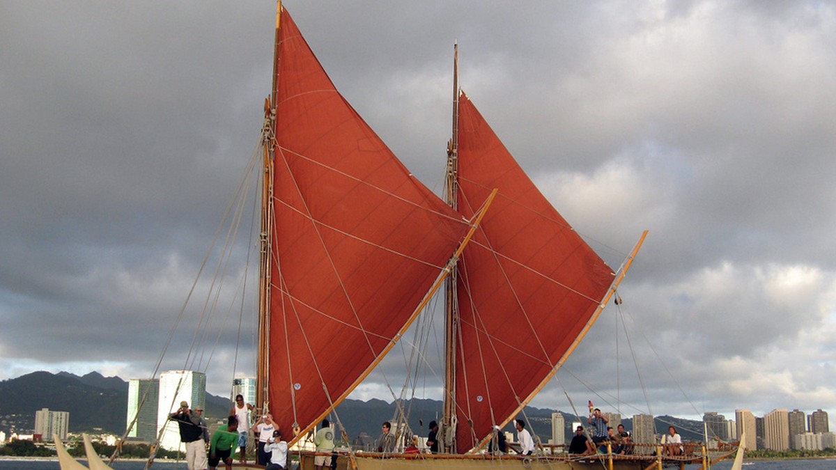
Traditional double-hulled Polynesian voyaging canoe Hokulea sailing open Pacific waters

⚓ Monograph Overview: The Master Navigators of the Pacific Between 1500 BCE and 1000 CE, Polynesian voyagers colonized the vast Polynesian Triangle—an oceanic territory of over 10 million square miles spanning from Hawaii in the north to New Zealand (Aotearoa) in the southwest and Easter Island (Rapa Nui) in the southeast. Accomplished entirely without metal … Read more

Celestial Navigation Through the Ages: From Astrolabes and Cross-Staffs to the Modern Nautical Sextant

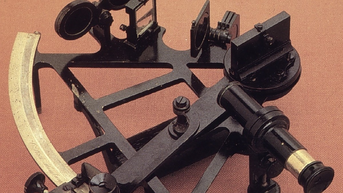
Antique brass nautical sextant with optical mirrors and micrometer drum

⚓ Monograph Overview: The Art of Guiding Ships by the Stars Before the advent of satellite constellations, oceanic wayfinding relied upon deciphering the geometry of the heavens. From the primitive mariner’s astrolabe and quadrant used during the Age of Discovery to the mathematical elegance of the cross-staff, back-staff, and the double-reflecting nautical sextant, celestial navigation … Read more

The Longitude Problem: John Harrison’s Marine Chronometers (H1 to H4) and the Revolution in Oceanic Wayfinding

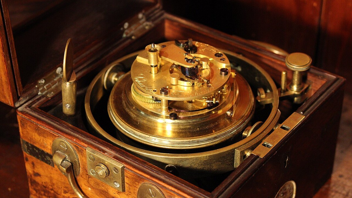
Precision marine chronometer escapement mechanism for oceanic longitude determination

⚓ Monograph Overview: Solving the Greatest Puzzle of the Age of Sail For centuries, the inability to calculate a ship’s east-west position (longitude) at sea claimed tens of thousands of mariners’ lives and caused catastrophic maritime disasters. The British Longitude Act of 1714 offered a monumental £20,000 prize for a practical solution. Self-taught Yorkshire carpenter … Read more