Global Maritime Archive • 2026 Edition

The Comprehensive Archive to Maritime History, Historic Warships & Oceanic Navigation

Explore over 42,000 words of rigorous historical research, naval architecture draughts, celestial wayfinding breakthroughs, and maritime civil engineering authored by Lead Maritime Historian Mr. Leon Wisoky.

Explore 20 Maritime Treatises ↓ About Archive → Contact Desk →
Explore Categories: ⚓ Historic Ships 🧭 Navigation 🏛️ Ports & Harbors 🪵 Shipbuilding ⚙️ Maritime Tech

Timber Selection in Historic Shipbuilding: English White Oak, Compass Timbers, Live Oak, and Pine Masts

Massive English oak tree providing compass timbers, curved knees, and hull ribs

⚓ Monograph Overview: The Dendrological Foundations of Naval Power In the Age of Sail, an empire’s geopolitical supremacy was determined by the botanical health and strategic management of its forests. Constructing a single 74-gun third-rate ship of the line consumed over 3,000 mature century-old oak trees. This monograph investigates the rigorous engineering science of historic … Read more
Clinker vs. Carvel Construction: The Structural Evolution of Nordic Longships to Mediterranean Ocean-Going Carracks

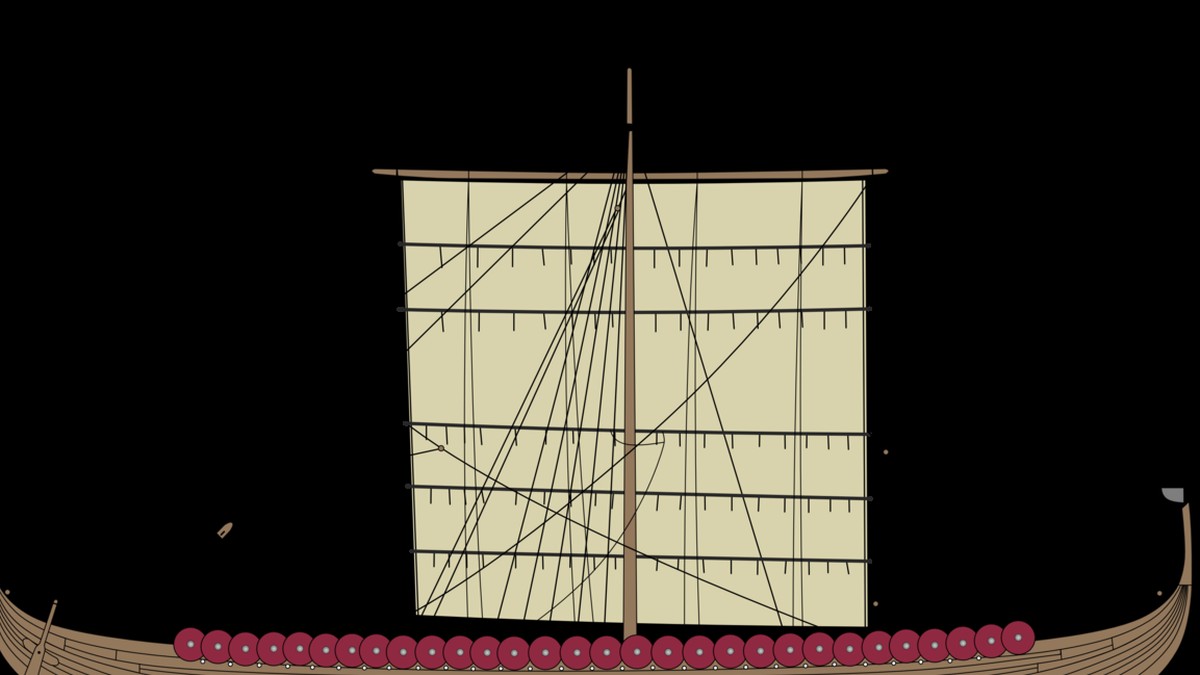
Overlapping oak strakes of a clinker-built Viking longship preserved in museum

⚓ Monograph Overview: The Great Architectural Divide of European Shipbuilding For centuries, European maritime culture was divided into two distinct construction philosophies: Northern European clinker (lapstrake) building and Mediterranean carvel (edge-to-edge frame-first) construction. The transition from light, flexible Viking longships and cogs to massive, multi-decked carvel carracks and galleons between 1400 and 1550 transformed naval … Read more

Breakwaters and Maritime Civil Engineering: The Construction of Plymouth Sound, Cherbourg, and Deepwater Artificial Harbors

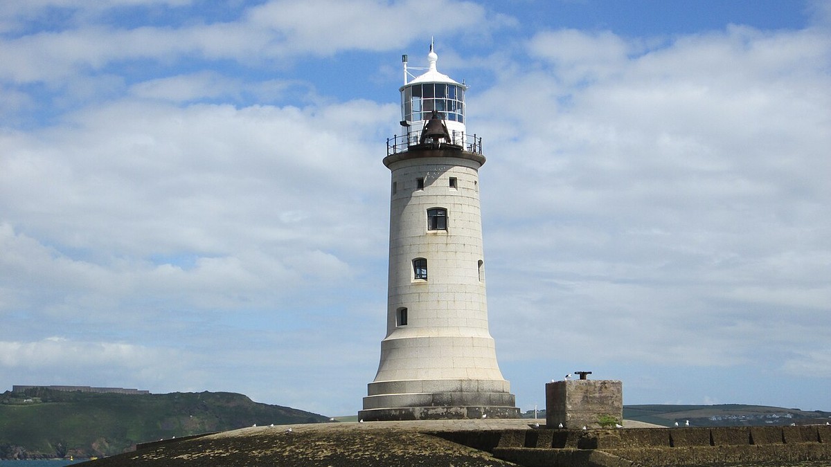
Plymouth Sound granite breakwater protecting naval anchorage with historic lighthouse

⚓ Monograph Overview: Conquering the Fury of Oceanic Waves An open coastline offers no sanctuary to sailing vessels during oceanic storms. To protect naval battle fleets and merchant shipping, nineteenth-century civil engineers pioneered deepwater artificial breakwaters. From John Rennie’s million-ton stone mountain across Plymouth Sound to Louis XVI’s wooden caisson cones at Cherbourg and modern … Read more

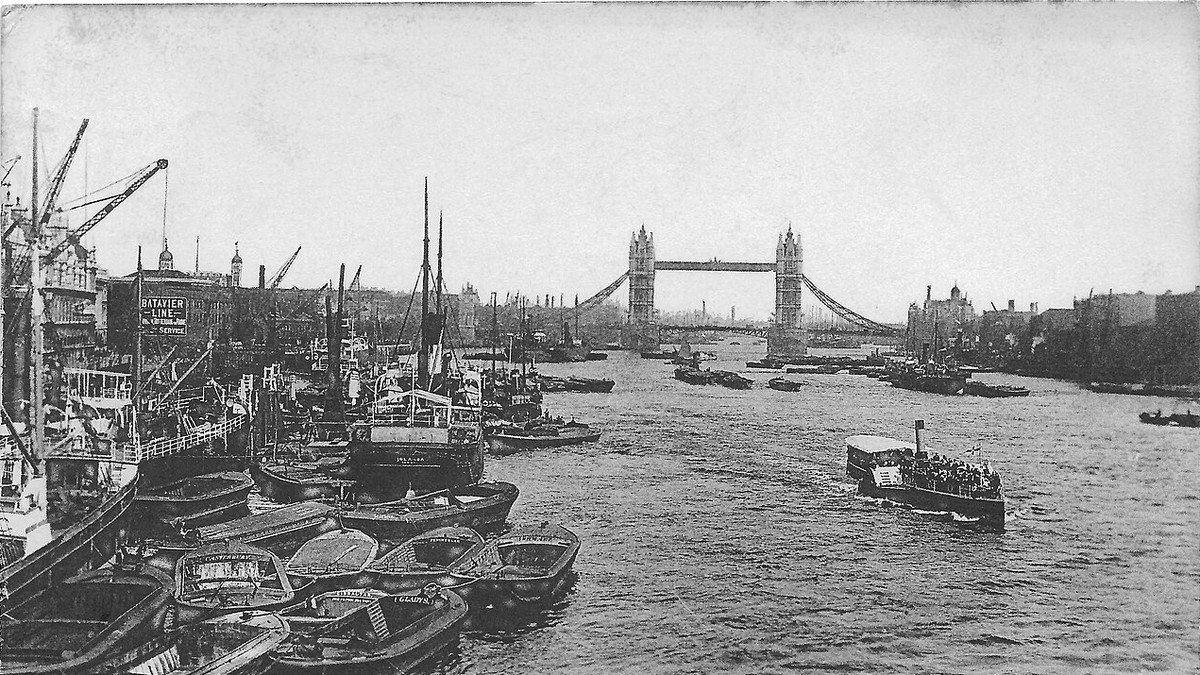
The Port of London in the Age of Sail: The Pool of London, Enclosed Wet Docks, and Global Colonial Commerce

18th-century painting of merchant sailing ships crowded in the Pool of London

⚓ Monograph Overview: The Capital of World Maritime Trade Between 1700 and 1850, the Port of London was the unrivaled economic heart of the global British Empire. Stretched along the tidal River Thames from London Bridge down to Greenwich, the ‘Pool of London’ handled thousands of merchant sailing ships laden with Caribbean sugar, East Indian … Read more

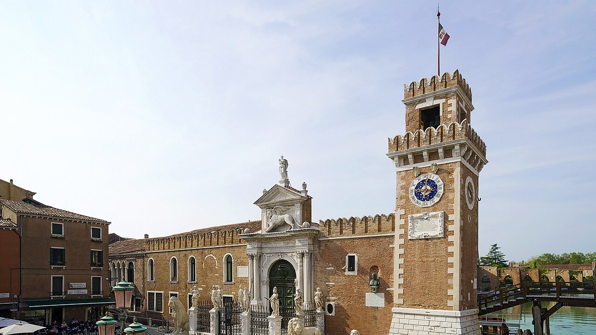
The Venetian Arsenale and Maritime Hub: Renaissance Industrial Ship Production, Galeass Fleets, and Mediterranean Trade Dominance

Entrance towers and defensive walls of the historic Venetian Arsenale shipyard

⚓ Monograph Overview: The World’s First Industrial Factory Complex Centuries before the British Industrial Revolution, the Republic of Venice operated the largest industrial complex in pre-modern Europe: the Arsenale di Venezia. Spanning over 110 acres of enclosed ship basins, rope factories, and armories, the Arsenale employed over 16,000 skilled shipwrights and carpenters (Arsenalotti). Utilizing moving-line … Read more

Portus and Ostia Antica: Roman Hydraulic Concrete Engineering, Hexagonal Basins, and Imperial Maritime Logistics

Archaeological site of Portus with Roman imperial hydraulic concrete masonry

⚓ Monograph Overview: The Maritime Engine of the Roman Empire At the height of the Pax Romana in the first and second centuries CE, the city of Rome consumed over 400,000 tons of grain annually, imported primarily from Egypt, North Africa, and Sicily. To supply this million-person metropolis, Roman civil engineers constructed Portus—the largest artificial … Read more

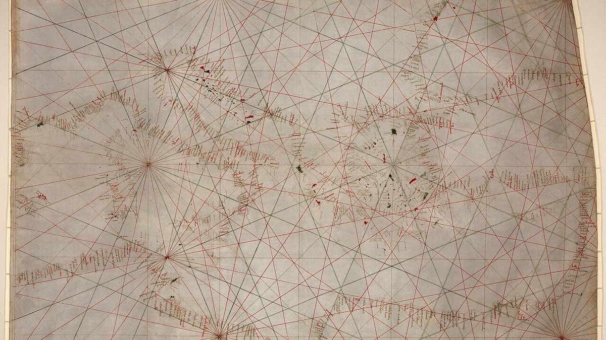
Nautical Cartography: The Evolution of Portolan Charts, the Mercator Projection, and Bathymetric Soundings

Hand-drawn medieval Portolan chart showing rhumb lines and Mediterranean coastal ports

⚓ Monograph Overview: The Science of Mapping the Oceans From thirteenth-century vellum Portolan charts crisscrossed with rhumb lines to Gerardus Mercator’s revolutionary 1569 conformal cylindrical projection and deep-sea lead line bathymetry, nautical cartography transformed the sea from a space of mortal peril into a charted highway. This monograph investigates the mathematical, optical, and hydrographic breakthroughs … Read more

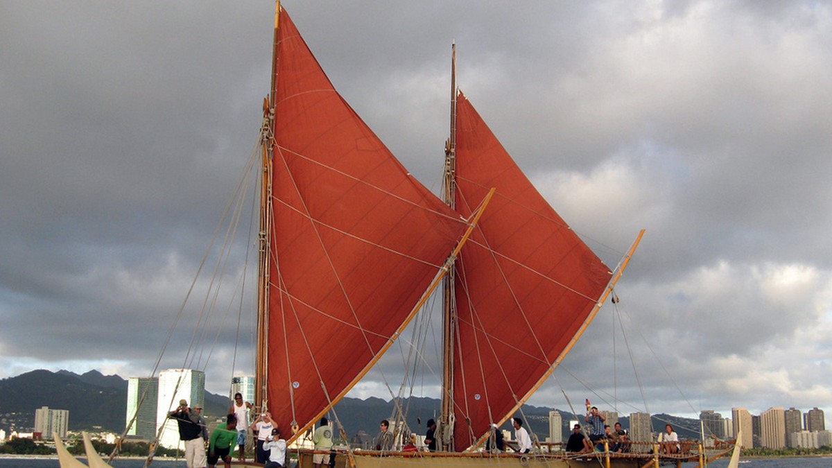
Polynesian Wayfinding: Non-Instrument Oceanic Navigation, Swell Patterns, and Star Paths in Pacific Voyaging

Traditional double-hulled Polynesian voyaging canoe Hokulea sailing open Pacific waters

⚓ Monograph Overview: The Master Navigators of the Pacific Between 1500 BCE and 1000 CE, Polynesian voyagers colonized the vast Polynesian Triangle—an oceanic territory of over 10 million square miles spanning from Hawaii in the north to New Zealand (Aotearoa) in the southwest and Easter Island (Rapa Nui) in the southeast. Accomplished entirely without metal … Read more

Celestial Navigation Through the Ages: From Astrolabes and Cross-Staffs to the Modern Nautical Sextant

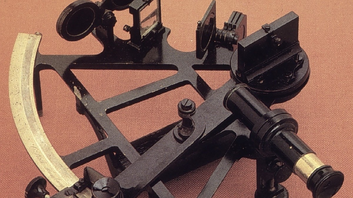
Antique brass nautical sextant with optical mirrors and micrometer drum

⚓ Monograph Overview: The Art of Guiding Ships by the Stars Before the advent of satellite constellations, oceanic wayfinding relied upon deciphering the geometry of the heavens. From the primitive mariner’s astrolabe and quadrant used during the Age of Discovery to the mathematical elegance of the cross-staff, back-staff, and the double-reflecting nautical sextant, celestial navigation … Read more

The Longitude Problem: John Harrison’s Marine Chronometers (H1 to H4) and the Revolution in Oceanic Wayfinding

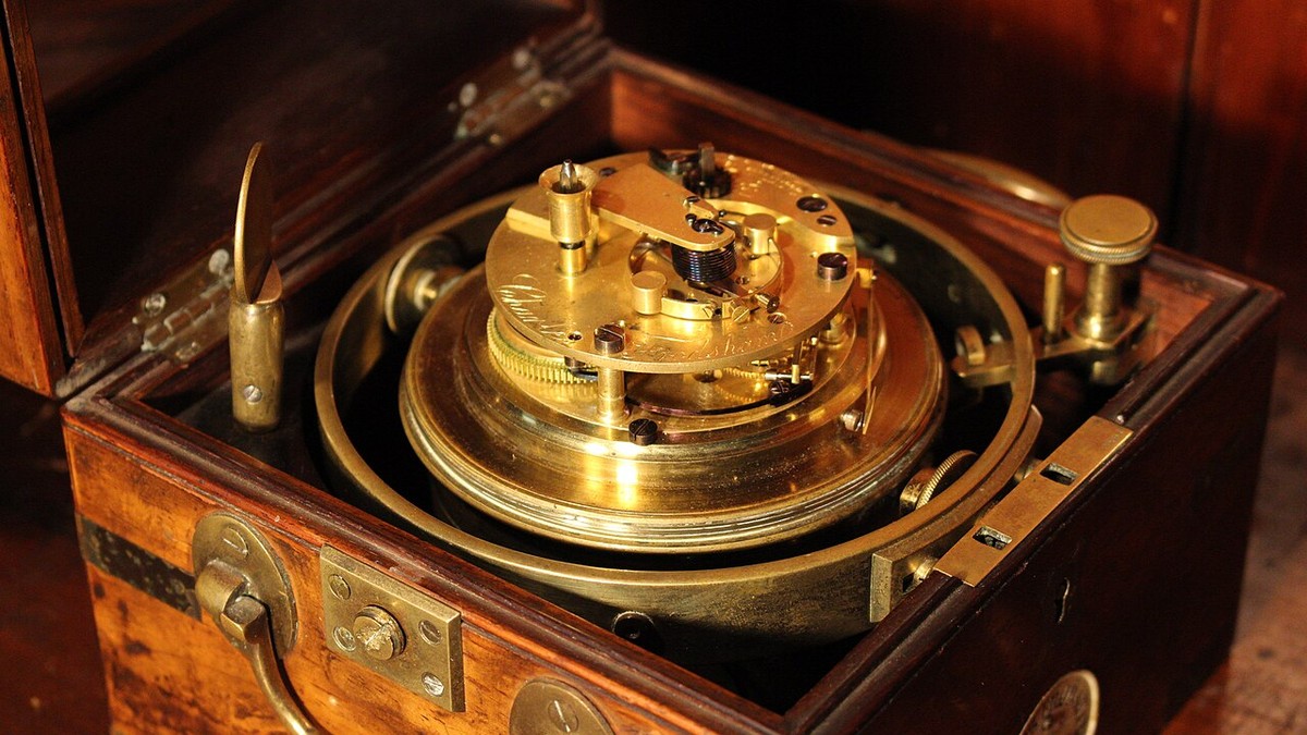
Precision marine chronometer escapement mechanism for oceanic longitude determination

⚓ Monograph Overview: Solving the Greatest Puzzle of the Age of Sail For centuries, the inability to calculate a ship’s east-west position (longitude) at sea claimed tens of thousands of mariners’ lives and caused catastrophic maritime disasters. The British Longitude Act of 1714 offered a monumental £20,000 prize for a practical solution. Self-taught Yorkshire carpenter … Read more